A3 Rudersdorf

- 1:20 h
- 5.00 km
- 91 m
- 91 m
- 316 m
- 407 m
- 91 m
- Start: Rudersdorf station
- Destination: Rudersdorf station
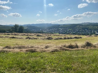
The route around Westerberg is the smaller Weißbachtal variant. The ideal starting point is the station in Rudersdorf. Beautiful valley views accompany the hiker on their way through the nature reserve.
Waypoints
Good to know
Best to visit
- suitableDepends on weather
Directions
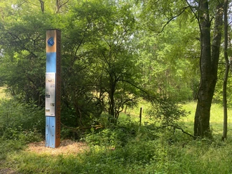
- We leave our starting point heading south to Birkenhof. From there, we continue northeast until we reach the Weißbachtal nature reserve, which is characterized by the interlocking of various habitats with high site diversity. We continue walking towards Anzhäuser Mühle and then along the L722. After about 5 km, we finally reach our starting point again.
Tour information
Loop Road
Stop at an Inn
Equipment
- No special equipment is required.
Directions & Parking facilities
- Getting thereVia the L722 to Rudersdorf and from the town center towards the stationParkingFree parking is available at Rudersdorf station and at the hiking car park near Anzhäuser Mühle.Public transportation
Accessible by train via Rudersdorf station.
Information from ZWS (Zweckverband Personennahverkehr Westfalen-Süd), Tel.: 01806/504030 (0.20 EUR/call from landline, mobile max. 0.60 EUR/min)
Additional information
Municipality of Wilnsdorf
Market Square 1
57234 Wilnsdorf
Tel. 02739/802-0, Fax -139
Literature
Author
Lena Wildfeuer
Organization
Südliches Siegerland
License (master data)

Author´s Tip / Recommendation of the author
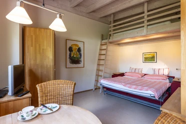
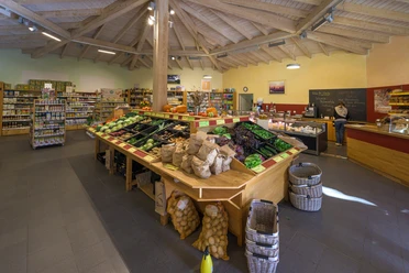
Place to eat and stay: Birkenhof Siegerland
Please note the shop opening hours.
Map
Bicycle touring and leisure map Siegerland-Wittgenstein with accompanying booklet, 1:50,000, ISBN 3-87073-280-3, €7.95
Hiking map Southern Siegerland, 1:25,000, €7.95
Nearby




Download GPX file