A4 Rudersdorf


- 1:27 h
- 5.17 km
- 135 m
- 135 m
- 351 m
- 487 m
- 136 m
- Start: Parking lot at Ziegenberg
- Destination: Parking lot at Ziegenberg
An idyllic hike that is connected to other circular routes and can therefore be flexibly designed on the way.
Waypoints
Start

Destination
Good to know
Best to visit
suitable
Depends on weather
Directions
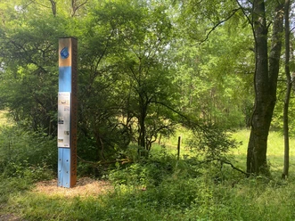
From the Ziegenberg parking lot, we walk northwest and turn right at the first fork. Parallel to the circular route A2 and along the Upper Langenbach nature reserve, we walk straight until we meet the Rothaarsteig trail Gernsdorfer Hightour. We turn left and then immediately right towards Henneberg. We walk parallel to the Rothaarsteig access path and turn right north of the Jägersborn spring. Between the Upper Langenbach Valley nature reserve in the north and the Ziegenberg in the south, we reach our starting point again.
Tour information
Loop Road
Equipment
No special equipment is required.
Directions & Parking facilities
By car from Anzhausen or Gernsdorf, drive towards Rudersdorf station. Then follow the signs to "Tannenhof".
Parking is available west of the Upper Langenbach nature reserve.
accessible by train and bus
Information from ZWS (Zweckverband Personennahverkehr Westfalen-Süd), Tel.: 01806/504030 (0.20 EUR/call from landline, mobile max. 0.60 EUR/min.)
Author
Lena Wildfeuer
Organization
Südliches Siegerland
License (master data)

Map
Cycle hiking and leisure map Siegerland-Wittgenstein with booklet, 1:50,000, ISBN 3-87073-280-3, €7.95
Hiking map Southern Siegerland, 1:25,000, €7.95
Nearby


Download GPX file