Winter hiking trail and cross-country ski trail in Hilchenbach-Lützel


- 0:30 h
- 2.32 km
- 2 m
- 69 m
- 595 m
- 635 m
- 40 m
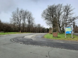
- Start: Giller parking lot
- Destination: Giller parking lot
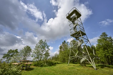
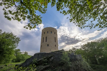
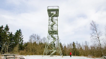
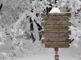
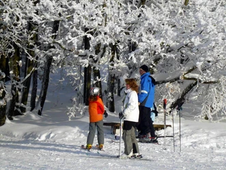
The approximately 1.3 km circular route around the Gillerturm is groomed for cross-country skiing as well as smoothed for winter hikers, depending on weather conditions. Follow the green markings.

Logo Stadt Hilchenbach
Waypoints
Start
Good to know
Best to visit
- suitableDepends on weather
Directions
- From the Giller parking lot, first follow the road parallel to the toboggan run downhill. There, cross the toboggan run and turn left onto the marked winter hiking trail or the cross-country ski trail. In a curve, you reach the street "In den Eichen," which you follow uphill to the left, then turn onto Gillerbergstraße to reach the parking lot. Cross-country skiers also have the option to reach the blue and red trails by crossing the street to the right at the foot of the toboggan run and using the marked driving path.
Tour information
Loop Road
Equipment
- Cross-country skiing and/or winter-appropriate clothing
Directions & Parking facilities
- Getting thereBy car via the B62 to Hilchenbach-Lützel. There, turn into Gillerbergstraße and drive up to the mountain peak.ParkingFree parking is available on the left and right of the mountain peak.Public transportationTake the Regionalbahn RB 93 to Hilchenbach-Lützel station.
Additional information
- Hikers please DO NOT enter the groomed ski trails!
Author
Susanne Träger
Organization
Stadt Hilchenbach
Safety guidelines
- Caution when crossing in the area of the toboggan run!
Nearby


Download GPX file