Circular route O1 Burbach-Oberdresselndorf to the Dreiländereck


- 1:45 h
- 6.14 km
- 184 m
- 182 m
- 415 m
- 566 m
- 151 m
- Start: Hickengrund hiking car park
- Destination: Hickengrund hiking car park
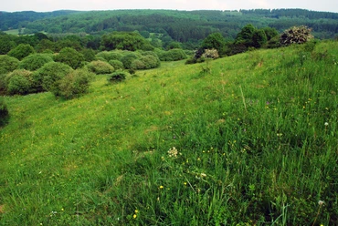
Wonderful views and easily manageable forest paths characterize this circular hike. Along the way, there are repeatedly audio stations that are part of the audio trails on the Rothaarsteig and provide us with interesting information about the region. In the first half of the route, we always have the Winterbach by our side. We can start directly at the hiking car park and follow the course of the stream, which leads us through the beautiful Weiher and Winterbach nature reserve, to the Dreiländereck. Not far from there is also the southernmost point of Westphalia. Afterwards, the route leads back through some forest sections and across fields to the car park. On the way back, we pass the Höppches Hain viewpoint, inviting us to rest with a wonderful view.
Waypoints


Good to know
Best to visit
Directions
Our hike begins from the Hickengrund hiking car park. At first, we walk south through the Weiher and Winterbach nature reserve, following the Winterbach. After the first 1.5 kilometers, we keep left at both forks and arrive directly at the Dreiländereck information sign. We retrace our steps a bit and then turn left into the forest. Continuing along the path past the Höppches Hain viewpoint, we return to the car park.
Tour information
Loop Road
Equipment
Day hiking backpack (approx. 20 liters) with rain cover, sturdy and comfortable footwear, weather-appropriate and durable clothing in layers, optionally telescopic poles, sun and rain protection, provisions and drinking water, first aid kit, pocket knife, mobile phone, optionally headlamp, map material
Directions & Parking facilities
From the A45 take the Haiger/Burbach exit onto L730 to Oberdresselndorf, past the fire station to the hiking car park
Hickengrund hiking car park
By bus to Niederdresselndorf station, then on foot to the starting point.
Author
Mario Otterbach
Organization
Südliches Siegerland
Author´s Tip / Recommendation of the author
Only a short distance from the car park lies the Wildweiberhäuschen natural monument. This legendary rock formation is definitely worth the detour!
Safety guidelines
Sturdy footwear and weather-appropriate clothing are always good advice.
Map
Hiking map "Burbach".
Nearby


Download GPX file