Erndtebrück Circular Route


- 6:50 h
- 25.37 km
- 483 m
- 482 m
- 467 m
- 673 m
- 206 m
- Start: Hiking car park 'Am Dill'
- Destination: Hiking car park 'Am Dill'
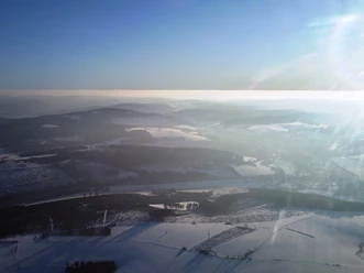
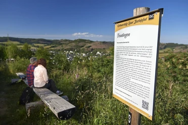
The Erndtebrück circular route climbs the various mountain heights around Erndtebrück, such as the Ebschloh (678 meters above sea level), the Seebach (638 meters above sea level) or the Ahornsberg (615 meters above sea level) on the Hilchenbach municipal area, and also runs along several river courses, such as the Eder, the Seebach or the Elberndorf. In addition to these natural attractions, there are also some tourist sights well distributed along the way, such as the Schameder airfield, the Seebacherweiher, the Kreuzwegbuche, or the Biological Station Siegen-Wittgenstein. The paths run through forest and meadows, villages, and the central town of Erndtebrück on forest paths, service roads, and paved sections.

Waypoints


Good to know
Best to visit
Directions
Tour information
Loop Road
Stop at an Inn
Summit
Directions & Parking facilities
Cars can also be parked at all other hiking car parks ('Amtshäuser Höhe' and 'In der Elberndorf') for hiking routes.
Additional information
The circular route reaches various hiking car parks at regular intervals, so it can be hiked in stages.
Starting at the 'Am Dill' hiking car park, there are also the 'Amtshäuser Höhe' and 'In der Elberndorf' hiking car parks.
Author
Sophie Radenbach
Organization
Touristikverband Siegen-Wittgenstein e.V.
Nearby


Download GPX file