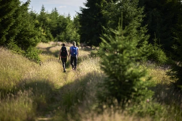
Mäanderweg (Meander path)


- 6:15 h
- 24.80 km
- 631 m
- 631 m
- 443 m
- 611 m
- 168 m
- Start: Erndtebrück town centre.
- Destination: Erndtebrück town centre.

Wanderhöhepunkte Wegemarkierung
Waypoints
Start

Good to know
Best to visit
suitable
Depends on weather
Equipment
Restaurants and overnight accommodation at the start and end points only.
Directions & Parking facilities
Author
Nathalie Treude
Organization
Touristikverband Siegen-Wittgenstein e.V.
License (master data)

Author´s Tip / Recommendation of the author
The route offers many attractive places to stop for a picnic, so make sure you take food and drink with you!
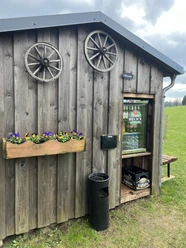
It’s worth paying a visit to the Erndtebrück local history museum and to “Balds historische Fahrzeugschau”, an exhibition of old motor vehicles.
Nearby


