Dotzlar-Hainbach-Schwarzegrube


- 2:34 h
- 9.12 km
- 221 m
- 221 m
- 426 m
- 573 m
- 147 m
- Start: Parking lot on Eichenstraße in Bad Berleburg Dotzlar
- Destination: Parking lot on Eichenstraße in Bad Berleburg Dotzlar
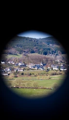
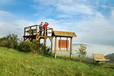
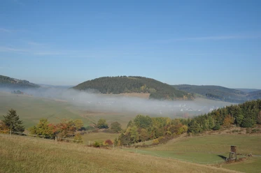
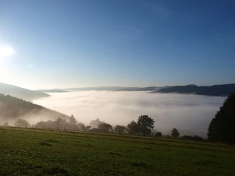
You start through the residential area, past an old bakehouse, the center of the village. On the hill, you are rewarded with a view back to the village and Dotzlar Castle. From the viewing platform of the premium hiking trail “Via Adrina”, you have a wide view of the castle and further to the Rothaar Mountains; on the other side, you can see the villages Arfeld and Schwarzenau, and as far as the Hüttental. The Hüttental made history around 1700 when Pietists settled there. They lived in simple, poor huts, hence the name “Hüttental”. Their members were baptized in the Eder River, which winds through the villages to the Edersee and then to the Weser. Then you reach the idyllic Café Hainbach. The farm visible below in the Mühlbach valley breeds the rare Wittgensteiner upland cattle, which you can see grazing in the meadows. Stop along the way and enjoy the views. Before going around Blosenberg, you have a view of the golf course in Sassenhausen. When circling the nature reserve “Großer Keller”, you might be lucky to spot rare animal species in the juniper heath, like the red-backed shrike. Also impressive here are the huge spruces with their thick trunks and unusual growths. Past the boundary stone that marks the border of the counties "Wittgenstein-Berleburg (WB)" and "Wittgenstein-Wittgenstein (WW)" including Hohenstein (Laasphe). Before returning to the village, you pass a memorial stone where once the princely forest warden Friedrich Kroh from Dotzlar died at the hands of poachers. In the village, you will find a small chapel from the 1300s, marking the end of the hike. Across the meadow, you return to the parking lot.

Waypoints
Good to know
Best to visit
- suitableDepends on weather
Directions
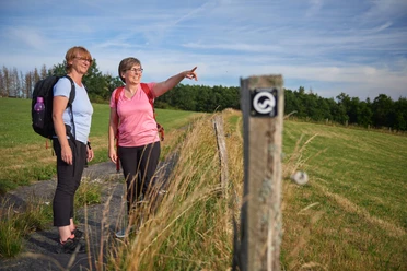
- You start your circular route at the parking lot in the center of Bad Berleburg-Dotzlar. At the traffic light, cross the main road L718 and follow Fliederstraße to the right until Dotzlar main road L553. Cross it and go opposite into Eisbachstraße. Follow the paved road on the left side to the viewing platform of the Via Adrina. From there, you go down the gravel path to the street, then turn right. After a few meters, turn right again. Follow the path to Café Hainbach, where it is worth making a stop. From now on, follow the hiking trail marked with a black background and a small white less-than sign for about 2.5 km to the second intersection. Here turn sharply right and continue on this path, crossing the first intersection. At the next junction, keep left. Then proceed to the nature reserve “Großer Keller”. With a view of the juniper heath, follow the fence on the right to the next information board. Continue straight, hiking steeply downhill, at the next intersection go right and continue downhill to the asphalt road. Follow this past a wooden shed towards Dotzlar until the main street. Cross the street at the village shop and turn opposite into Burgstraße until the small chapel. Here turn sharply right and after about 200 m turn slightly uphill to the left. After 250 m, a path leads right across the meadow down to the parking lot.
Tour information
Loop Road
Stop at an Inn
Equipment
- Sturdy footwear is recommended.
Directions & Parking facilities
- Getting thereAlong the L718 through Dotzlar townParkingAt the traffic light on Laubrother Street at the junction to Eichenstraße there is a large parking lot.
Author
Heidi Dickel
Organization
Touristikverband Siegen-Wittgenstein e.V.
License (master data)

Author´s Tip / Recommendation of the author
- Take a break at Café Hainbach. Homemade cake and a refreshing drink will strengthen you for the rest of the way.
Nearby
Download GPX file