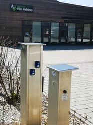
Via Adrina - Trail of sight relationships - 1st stage


- 4:00 h
- 13.52 km
- 366 m
- 365 m
- 375 m
- 515 m
- 140 m
- Start: Car park, Arfelder Hauptstraße 1, Bad Berleburg-Arfeld
- Destination: This is also where the route ends
A hike with a wide view - even if you only do the first stage. Beautiful landscape, the rushing Eder and fairy-tale paths await the hiker.
The 12 km long section of the premium hiking trail leads through varied landscape along the Eder around Arfeld. The approximately four-hour route goes through hilly terrain, up and down. It rewards with wonderful panoramic views on the heights and adventurous natural paths in the valleys.
Especially good views can be had from the viewing platform of the sections of the trail covered and the ones ahead.

Waypoints


Good to know
Best to visit
Directions
The first stage is 13 km long and leads over the Eder bridge, along a spring area with a group of trees. This is followed by a steep climb to the viewing platform, which offers a view over the entire hiking area.
The "Café Hainbach" is the next stop. We circle the valley basin of the Mühlbach valley and look as far as the Upper Hüttental in Schwarzenau.
We pass by poor meadows. White and blackthorn bushes shape the landscape.
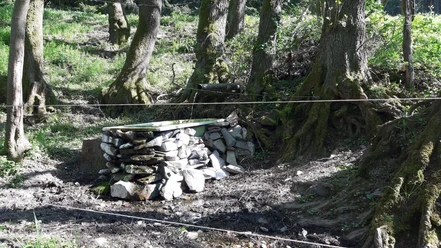
We follow the traces of mining, including an old charcoal kiln site.
Afterwards, we pass through a pasture landscape, as it used to belong to every village.
To return to Arfeld, we can now follow the signposting.
Then we pass the Protestant church, which is open during the day for walkers and cyclists in the summer months.
The Arfeld blacksmith museum is also worth a visit on every 3rd Saturday of the month from 10 a.m. to 12 p.m.
Tour information
Cultural Interesting
Loop Road
Stop at an Inn
Equipment
Directions & Parking facilities
Drive by car from Raumland via the L553 to Arfeld. Just behind the Eder bridge at the entrance to the village, turn left. The car park is on the left side.
From Hatzfeld, drive via the L553 through Arfeld. At the exit of the village, towards Dotzlar, turn right before the Eder bridge. The car park is on the left side.
Additional information
Author
BLB-Tourismus GmbH
Organization
BLB-Tourismus GmbH
License (master data)

Author´s Tip / Recommendation of the author
Safety guidelines
Map
Nearby


Download GPX file