Via Adrina - trail of scenic relations - 2nd stage


- 3:00 h
- 10.14 km
- 192 m
- 204 m
- 364 m
- 544 m
- 180 m
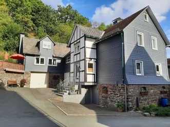
- Start: e.g. above the Schwarzenau Mill, Gasse 8, Bad Berleburg-Schwarzenau
- Destination: This is also where the route ends.
A hike of long-range views - even if you only walk the second stage. Beautiful landscape, the rushing Eder and fairy-tale paths await the hiker.
The 11 km long section of the premium hiking trail leads through varied landscape along the Eder around Schwarzenau. The approx. 3 1/2-hour route leads through hilly landscape, up and down. It rewards with wonderful panoramic views from the heights and adventurous natural paths in the valleys.
Especially good views can be enjoyed from the viewing platform above Hüttental in Schwarzenau of the sections already covered and the upcoming sections.

Waypoints


Good to know
Best to visit
Directions
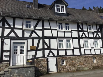
Follow the hiking sign towards Schwarzenau town center. You will pass a historic baptism site. In August 1708, Alexander Mack baptized the first believers here in the Eder. That was the founding of the Church of the Brethren. Continue to the Schwarzenau hunting lodge.
Next follows a long, steep climb to the Hüttental settlement. There is the Alexander Mack Museum. The strenuous path is rewarded with remarkable views from the viewing platform.
Now the route leads for some time over the heights with a great view. After a descent to the Peace Oak, we turn left and follow the signposts "Runde Schwarzenau".
We walk along a former irrigation channel, with a view of the Magertrift biotope. Then we pass former quarries and then cross the Eder cycle path.
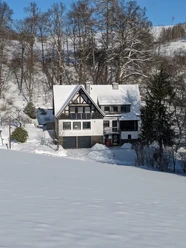
After some time, we reach our starting point, the Schwarzenau Mill.
Tour information
Cultural Interesting
Loop Road
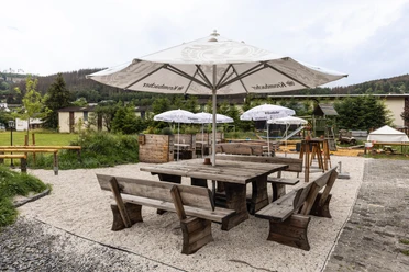
Stop at an Inn
Equipment
Sturdy footwear and possibly hiking poles.
Since the Schwarzenau Mill is the only place to eat, packing your own food is recommended.
Directions & Parking facilities
Literature
Organization
BLB-Tourismus GmbH
License (master data)

Safety guidelines
Map
Nearby


Download GPX file